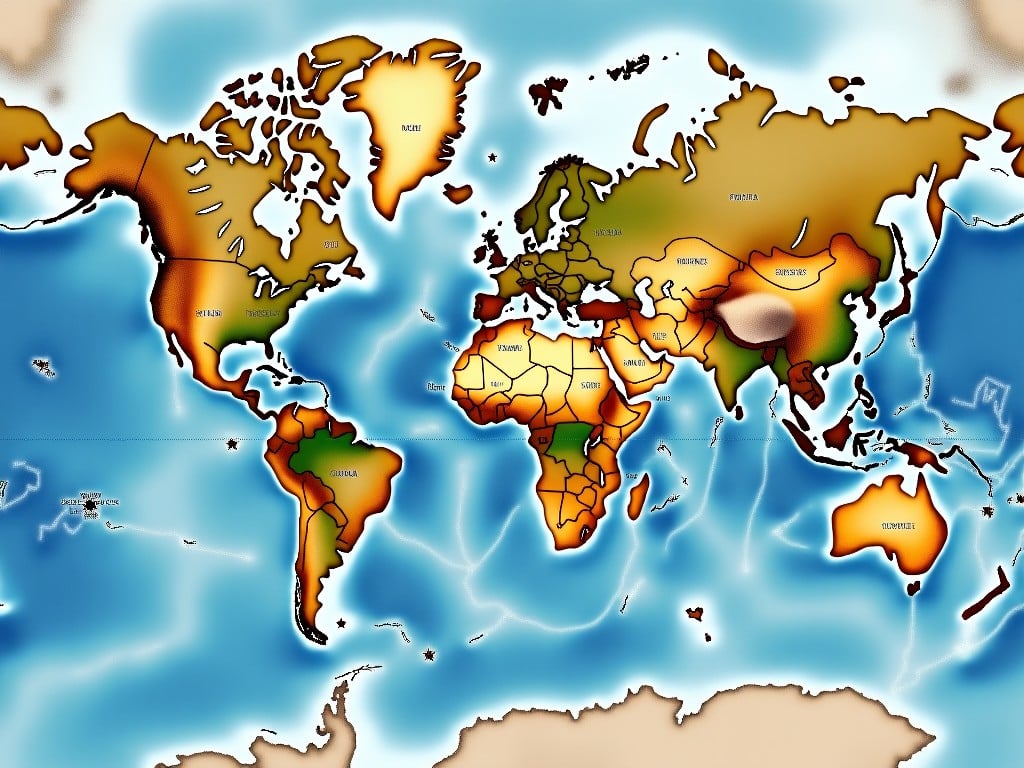
map of the Earth but split at 100th meridian east, through China, with the center being in the US, A beautifully illustrated world map showcasing various continents and regions. Each country is highlighted in earth tones, complementing shades of blue representing oceans. The focus is on the geographical layout of the world, making it useful for educational purposes. The map appears to blend artistic elements with geographic accuracy. This image can serve as a visual tool for understanding global geography

