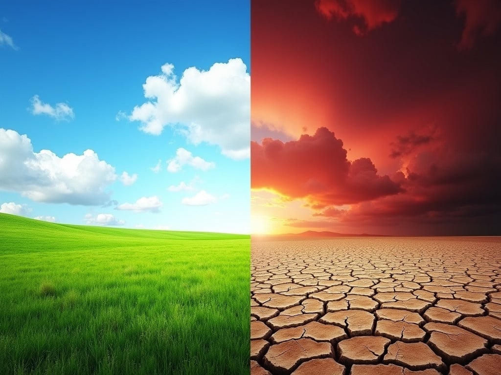
Contrasting Environments: A Visual Representation of Climate Change and Environmental Degradation
Generated by FLUX.1-dev
Flux Prompt
More Flux Images About Contrasting environments illustrating climate change
Contrasting Environments: A Visual Representation of Climate Change and Environmental Degradation and Related Flux Artwork
The image is a split-screen representation of two contrasting environments. The left side shows a vibrant, green grassy field under a bright blue sky with scattered white clouds, symbolizing a healthy and thriving ecosystem. In stark contrast, the right side depicts a barren, cracked, and dry land under a dark, ominous red sky with heavy clouds, symbolizing a drought-stricken or devastated environment. This striking visual highlights the effects of climate change or environmental degradation. The colors used intensify the difference between the two sides, making the viewer reflect on the impacts of human activity on nature.
Prompt:
The image is a split-screen representation of two contrasting environments. The left side shows a vibrant, green grassy field under a bright blue sky with scattered white clouds. This symbolizes a healthy and thriving ecosystem. In stark contrast, the right side depicts a barren, cracked, and dry land under a dark, ominous red sky with heavy clouds. This symbolizes a drought-stricken or devastated environment. This striking visual highlights the effects of climate change or environmental degradation.
Prompt:
This image represents a colorful climate zone map of Mariveles, Bataan City, showcasing various climate indicators through an array of vibrant colors. Each region is distinctly marked, providing a clearer understanding of the area's geographical characteristics. The map emphasizes notable areas for easy reference, enhancing its utility for educational and informational purposes. The top-down perspective contributes to its visual appeal, making the color zones easily interpretable. This vibrant color scheme serves to attract viewers and facilitate learning about climate variability across different segments of Mariveles.
Prompt:
This image is a colorful climate zone map of Mariveles, Bataan City. It highlights various regions, each represented by different colors to indicate climate indicators. Notable areas are marked for reference, providing users with a clear understanding of the geographical landscape. The map features a top-down perspective that enhances the visual appeal. The vibrant color scheme makes it suitable for educational and informational purposes.
Prompt:
Christmas scene with Santa Claus beside a house that has solar panels and an EV charger. The house features a heat pump. Snow covers the ground and pine trees add to the festive atmosphere. Warm light emanates from the windows.
Prompt:
This image is a colorful climate zone map of Abucay, Bataan. It illustrates various regions differentiated by climate indicators, marked with notable areas. The vibrant color scheme enhances the clarity of the climate distinctions. The map is designed from a top-down perspective, showing an overview of the area's geographical layout. Key locations are prominently depicted for educational and informational purposes.
Prompt:
Climbers scale icy peaks with ice formations. Bright daylight enhances the scene. Mountains surround the climbers in a stunning alpine landscape.
The Grinch writing Isla Insch-Kempson in the snow. Snow-covered hills and evergreen trees surround him. The Grinch is green and wears a red scarf.
Prompt:
The Grinch writing Evil Angel in snow. The scene displays snow-covered hills and evergreen trees. The green Grinch wears a red scarf.
Prompt:
Santa Claus stands outside a home equipped with solar panels. Snow covers the ground and nearby trees. The scene emphasizes the festive spirit of Christmas in a snowy environment.
Prompt:
The image shows two contrasting scenes captured from above. On the left side, a beautiful, sunny road lined with palm trees and houses reflects a peaceful environment. Cars are seen traveling along the smooth road, indicating normalcy in everyday life. In stark contrast, the right side depicts the same road after a devastating event, surrounded by debris and darkness. The foreboding clouds loom overhead, emphasizing the change in mood and impact of nature. This dual portrayal highlights the fragility of human-made environments against natural disasters.
Prompt:
A colorful climate zone map of Balanga, Bataan City, illustrating various regions with different climate indicators and notable areas marked, featuring a top-down perspective with a vibrant color scheme.