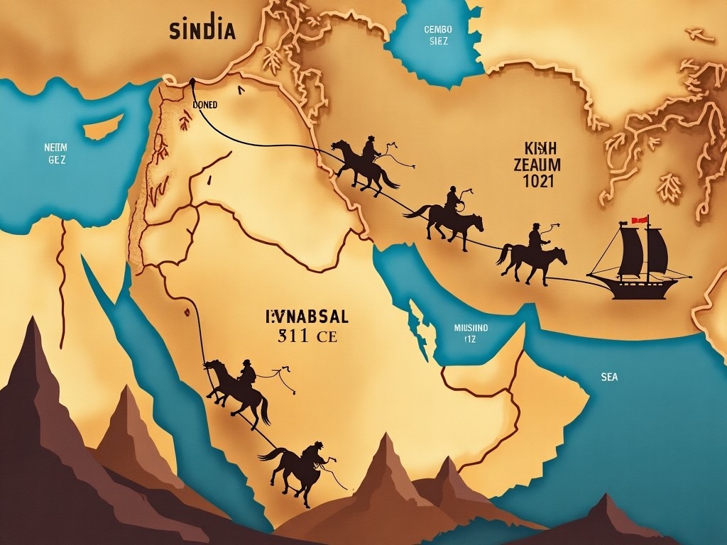
Historical Map of the Route from the Arabian Peninsula to Sindh in 711 CE

Flux Prompt

AI Prompt

More Flux Images About A map showing the route to Sindh

Historical Map of the Route from the Arabian Peninsula to Sindh in 711 CE and Related Flux Artwork

The image depicts a whimsical 3D landscape featuring a road leading to a large wooden sign that reads 'SMALL CITY.' The scene is bright and vibrant, with lush green trees lining the route. The road is realistic with yellow marking lines, drawing attention towards the sign. The sky is bright blue with fluffy clouds, adding to the cheerful atmosphere. This picturesque setting evokes a sense of adventure and curiosity, inviting viewers to explore its charm.
S

Flux AI Image

Road leading to the Small City with a 3D Wooden Sign

This image is a detailed road map outlining a journey through some of the most stunning landscapes in the southwestern United States. Starting and ending in Las Vegas, the route includes major stops at Zion Park, Bryce Canyon, Antelope Canyon, Horseshoe Bend, and Lake Powell. The journey then continues through Monument Valley and the Grand Canyon before passing through Seligman and back to Las Vegas. The route showcases iconic sites and highlights of Death Valley, Yosemite Park, and major cities like San Francisco, Los Angeles, and San Diego. It's a picturesque road trip that includes breathtaking views of natural beauty and outdoor adventures.
N

Flux AI Image

Epic Road Trip Map: Explore Las Vegas, Zion Park, Bryce Canyon, and More!

The image features a striking desert landscape with golden circular platforms at its center. Each platform showcases a flag, one having a gold and deep red design, and another featuring a green design typical of national flags. Surrounding the platforms are elaborate inscriptions that signify cultural importance. The bright sunlight casts a warm glow over the entire scene, emphasizing the intricate details of the platforms and flags. The background reveals endless sand dunes, capturing the vastness and beauty of the desert environment.
A

FLUX.1-pro AI

Golden Circular Platform with National Flags in a Desert Landscape

The image features a graphic design on a black shirt. It displays a map of the United States predominantly shaded in red, with some blue areas indicating cities. The text above the map reads, 'There are NO BLUE STATES.' Below the map, it states, 'Just BIG BLUE CITIES Trying to Tell Us How to Live.' The design emphasizes a political theme, focusing on the contrast between urban and rural areas in the U.S. The overall tone appears confrontational and opinionated, aimed at expressing a viewpoint on political divisions.
L

Flux AI Image

Political Graphic Design T-Shirt Featuring a Red Map of the USA with Controversial Texts

Imagine an interdimensional landscape, featuring a Sancta Sanctorum. Towering red rock formations rise majestically from a shimmering body of water. The dark blue sky reflects on the water's surface, enhancing the ethereal quality. At the center, a mysterious cult symbol shines brightly, encased in spirals, surrounded by striking rays of light. Below, rocky formations reminiscent of the famous Pillars of Creation contrast sharply against a cosmic backdrop, evoking feelings of wonder and trepidation.
P

Flux AI

Interdimensional Landscape with Sancta Sanctorum: A Voyage Through Fantasy and Science Fiction Art

This image features a 3D globe representing the earth, enhanced with digital connection lines interlinking various continents and countries. The globe is rendered in a sleek and modern style, emphasizing connectivity with a gradient color scheme of blue and green tones. The connection lines give an impression of a network, symbolizing global communication and modern technology. The design combines elements of geography with digital art to create a visually striking image. It's suitable for various applications relating to connectivity, technology, and global awareness.
I

Flux AI Image

3D Globe with Digital Connection Lines Representing Global Connectivity

A vibrant green circle hovers above a highway surrounded by fields and mountains.
6 images

FLUX.1-schnell Image

Nature's Portal

The image shows a picturesque cityscape nestled in a valley surrounded by mountains. There are both low-rise and high-rise buildings, showcasing a mix of architecture. The sky is bright blue with fluffy white clouds floating above. Lush green hills rise behind the urban areas, creating a stunning contrast. The area appears to be bustling, reflecting a vibrant urban life. Overall, it portrays a scenic blend of nature and urban development.
C

Flux AI Image Generator

Stunning Cityscape in a Valley Surrounded by Mountains with Vibrant Urban Life

This image is a colorful climate zone map of Mariveles, Bataan City. It highlights various regions, each represented by different colors to indicate climate indicators. Notable areas are marked for reference, providing users with a clear understanding of the geographical landscape. The map features a top-down perspective that enhances the visual appeal. The vibrant color scheme makes it suitable for educational and informational purposes.
N

Flux AI

Colorful Climate Zone Map of Mariveles, Bataan City with Regions and Climate Indicators

This image represents a colorful climate zone map of Mariveles, Bataan City, showcasing various climate indicators through an array of vibrant colors. Each region is distinctly marked, providing a clearer understanding of the area's geographical characteristics. The map emphasizes notable areas for easy reference, enhancing its utility for educational and informational purposes. The top-down perspective contributes to its visual appeal, making the color zones easily interpretable. This vibrant color scheme serves to attract viewers and facilitate learning about climate variability across different segments of Mariveles.
A

FLUX.1-dev AI

Colorful Climate Zone Map of Mariveles, Bataan: Understanding Geographic and Climate Diversity

A breathtaking view of a desert at sunset. The scene features rolling sand dunes with a warm golden hue. Palm trees are positioned in the foreground, adding to the tropical feel. The sun is setting in the background, casting beautiful orange and yellow colors across the sky. Wispy clouds reflect the sunset hues, creating a serene atmosphere. This landscape captures the vastness and beauty of nature in a tranquil setting.
A

Flux AI Image

Stunning Desert Sunset with Palm Trees and Rolling Sand Dunes

This image illustrates a historical map of Central Asia from around 1720. It highlights various territorial boundaries and geographic features significant to that era. Major regions including parts of Europe and Asia are prominently displayed. The artistic style reflects the mapmaking techniques of the early 1700s. Decorative elements and contextual names are integrated into the design, enhancing its historical relevance.
M

Flux AI Image Generator

Historical Map of Central Asia Circa 1720: A Detailed Overview of Territorial Boundaries and Geographic Features