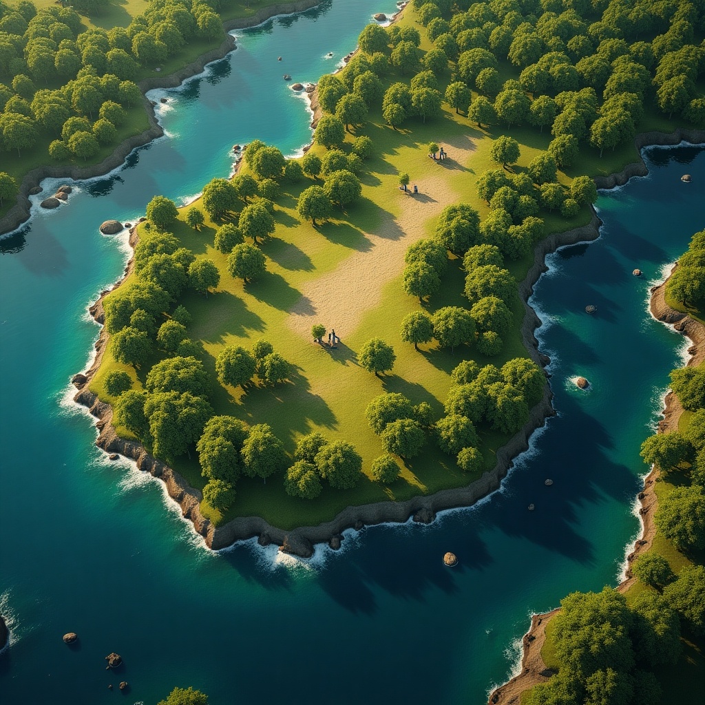
Realistic Height Map for Gaea: Aerial View of a Lush Green Island Landscape
A
Generated by FLUX.1-dev
G
Image Size: 1024 x 1024
Flux AI Model: FLUX.1-dev
Generator: Square
Flux Prompt
AI Prompt
K
Generated by FLUX.1-dev
G
Image Size: 1024 x 1024
Flux AI Model: FLUX.1-dev
Generator: Square
AI Prompt
More Flux Images About Island landscape
Realistic Height Map for Gaea: Aerial View of a Lush Green Island Landscape and Related Flux Artwork


M


