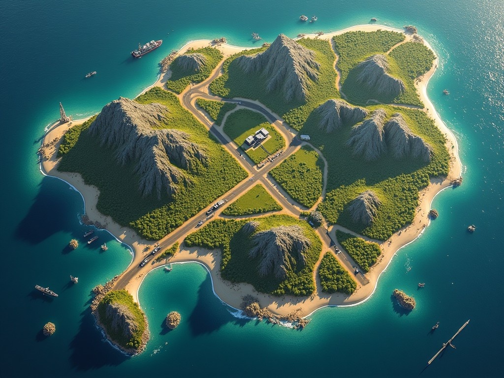
Aurora (Center):
Main port: Key for logistics.
Power station: Supplies the entire island.
Industrial zone: Factories and warehouses.
Vanguard (East):
Agricultural plantations: Food production.
Water system: Key to the supply of drinking water.
Main road: Connects important settlements and provides fast communication.
Sentinel (West):
Mountainous Terrain: Hidden weapons caches.
Lookouts: Provides a tactical advantage in reconnaissance.
Echo Island (Northwest):
Old military warehouses: Stockpiles of ammunition and weapons.
Frost Island (North):
Research stations: Important for meteorological data and forecasts.
Tide Island (Southeast):
Naval base: Control over the sea route.
Docks: Key for maritime transport.
Ember Island (Southwest):
Mines: Source of rare minerals.
Geothermal Resources: Natural Resources for Energy, The image depicts a detailed aerial view of a fictional island, showcasing various zones. In the center, an urban area features a main port for logistics and a power station for energy supply. Eastward, agricultural plantations cater to food production, while a robust water system supports drinking water supply. To the west, rugged terrain hides strategic military assets. The northern areas contain research stations critical for meteorological work. At the southeastern coastline, a naval base oversees maritime transport, with docks facilitating sea routes. Finally, to the southwest, mines indicate a rich source of rare minerals

