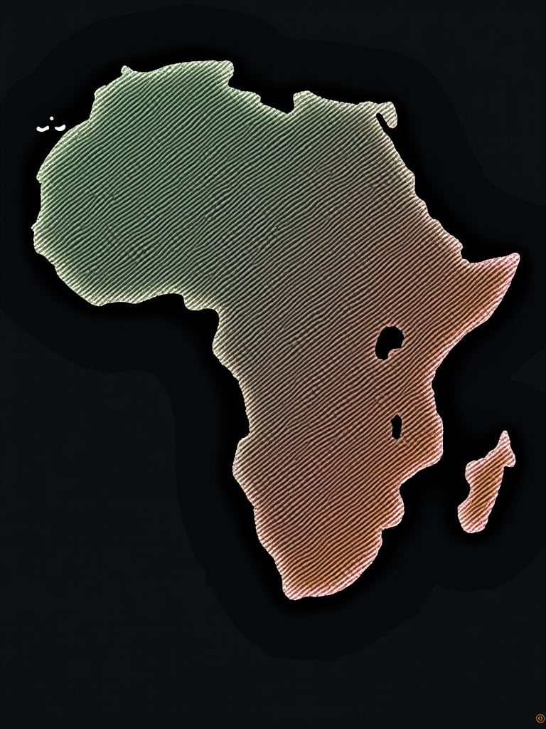
Stylish Outline of Africa with Gradient - Modern Representation of the Continent
Flux Prompt

AI Prompt

More Flux Images About Outline of the African continent

Stylish Outline of Africa with Gradient - Modern Representation of the Continent and Related Flux Artwork

Passport of Republic of Alkebulan placed on a wooden table. Background features African cloth with vibrant patterns. Emblem on cover signifies national identity.
K

Passport of Republic of Alkebulan placed on a wooden table. Background features African cloth with vibrant patterns. Emblem on cover signifies national identity.

This image is a colorful representation of a world map, showing various countries and regions in distinct colors. Each country is labeled clearly, enhancing educational value. The map emphasizes geographical boundaries and is designed with an illustrative style that makes it visually appealing. It can be used in classrooms, travel guides, or as a visual aid in presentations. The overall composition conveys a sense of global interconnectedness through vibrant colors and clear outlines.
J

This image is a colorful representation of a world map, showing various countries and regions in distinct colors. Each country is labeled clearly, enhancing educational value. The map emphasizes geographical boundaries and is designed with an illustrative style that makes it visually appealing. It can be used in classrooms, travel guides, or as a visual aid in presentations. The overall composition conveys a sense of global interconnectedness through vibrant colors and clear outlines.

This image is a clean and blank map of Europe and parts of the surrounding regions. It features an outline style, showing the shapes of various countries and geographical areas. Key historical locations are marked for reference. The image is simple and ideal for educational purposes. It can be used in materials discussing historical events and geography.
C

This image is a clean and blank map of Europe and parts of the surrounding regions. It features an outline style, showing the shapes of various countries and geographical areas. Key historical locations are marked for reference. The image is simple and ideal for educational purposes. It can be used in materials discussing historical events and geography.

A glowing digital outline of the African continent on a dark backdrop.

A glowing digital outline of the African continent on a dark backdrop.

A vibrant image of interconnected LED displays forming a globe. The globe is illuminated with blue lights. The map shows the continent of Africa in red. Designed for enhancement of modern technology themes.
A

A vibrant image of interconnected LED displays forming a globe. The globe is illuminated with blue lights. The map shows the continent of Africa in red. Designed for enhancement of modern technology themes.

A map showing the sea route from China to Belgium with two main contact persons. Locations for seller and buyer marked. Named places are evident with a clear geographical view of the route.
K

A map showing the sea route from China to Belgium with two main contact persons. Locations for seller and buyer marked. Named places are evident with a clear geographical view of the route.

This image depicts a glowing digital globe that highlights continents such as Africa and Europe. The globe is surrounded by lines representing connectivity, emphasizing the interconnected nature of our world. The design is futuristic, set against a dark background that enhances the glowing effect. The use of blue tones adds to the modern look, creating a visually appealing representation of global connectivity. This image can be used for various purposes, including educational and technological presentations.
L

This image depicts a glowing digital globe that highlights continents such as Africa and Europe. The globe is surrounded by lines representing connectivity, emphasizing the interconnected nature of our world. The design is futuristic, set against a dark background that enhances the glowing effect. The use of blue tones adds to the modern look, creating a visually appealing representation of global connectivity. This image can be used for various purposes, including educational and technological presentations.

The image shows a digital map of Africa glowing in red with a futuristic, dotted design.

The image shows a digital map of Africa glowing in red with a futuristic, dotted design.

A world map depicted in red color. Outlines of continents visible. Background is black. Design is modern and flat.
A

A world map depicted in red color. Outlines of continents visible. Background is black. Design is modern and flat.

The image features a 3D representation of the Earth with intricate digital connection lines linking various continents. It highlights the continents of Africa, Asia, Europe, and others with pulsing gradient colors in blue and green. The globe itself appears futuristic, embodying technology and global connectivity. The connection lines stretch outwards, signifying data flows and interactions between different parts of the world. The background is kept minimalistic to emphasize the central globe and its connections.
T

The image features a 3D representation of the Earth with intricate digital connection lines linking various continents. It highlights the continents of Africa, Asia, Europe, and others with pulsing gradient colors in blue and green. The globe itself appears futuristic, embodying technology and global connectivity. The connection lines stretch outwards, signifying data flows and interactions between different parts of the world. The background is kept minimalistic to emphasize the central globe and its connections.

Geopolitical map showing countries of the world. Each country is represented with different colors. Countries are clearly outlined. Background is soft blue. Map provides a visual representation of global geography.
S

Geopolitical map showing countries of the world. Each country is represented with different colors. Countries are clearly outlined. Background is soft blue. Map provides a visual representation of global geography.