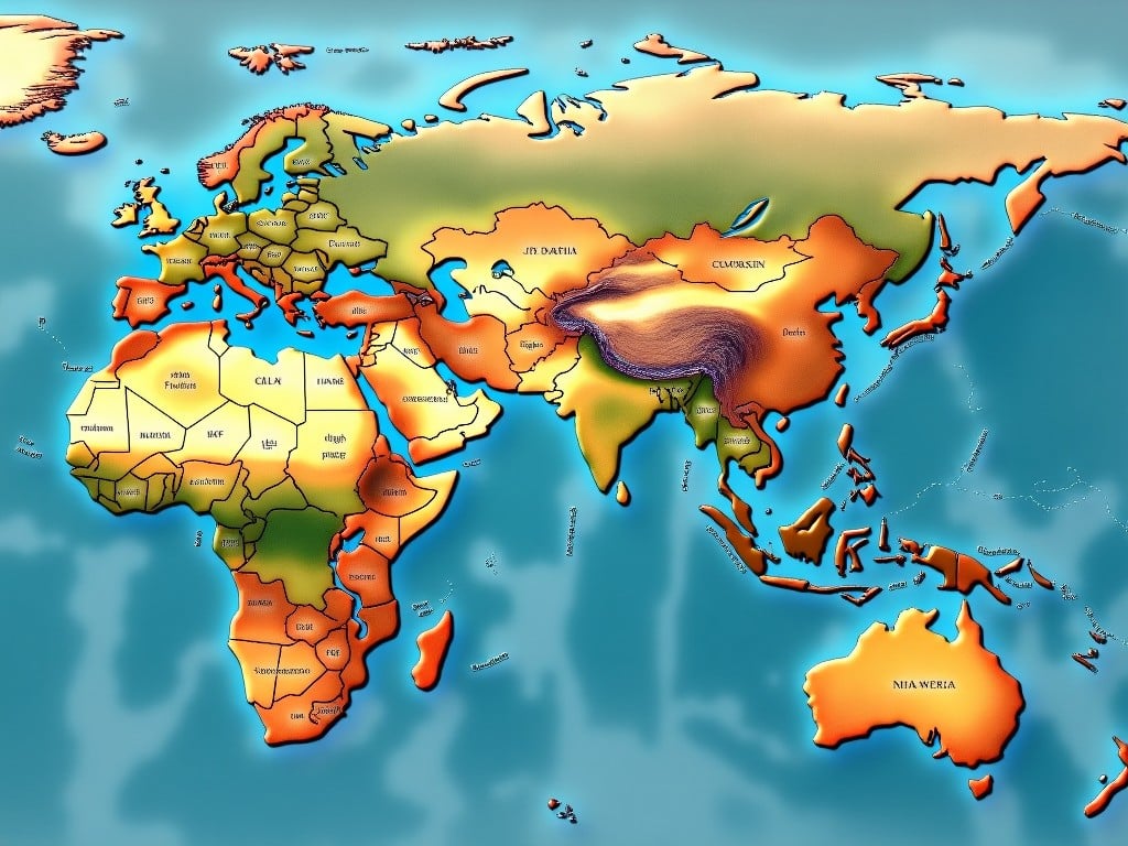
Vivid Illustrated World Map Showing Countries and Continents
J
Generated by FLUX.1-pro
G
Image Size: 1024 x 768
Flux AI Model: FLUX.1-pro
Generator: Landscape 4:3
Flux Prompt
AI Prompt
More Flux Images About World map with geographical boundaries
Vivid Illustrated World Map Showing Countries and Continents and Related Flux Artwork


K


2 images
USA geographical divisions
Political map of North America
Maps of US regions
USA states map
Geographic regions of North America
Continental map
United States map
USA map on shirt
US territories map
geographic illustration
personal doubts
Eastern US map
Geographic regions
US regional map
Travel guide
Map education
Cartography
State boundaries
US geography
Geographic areas


